So this is what life is like under the Boston Harbor! :-)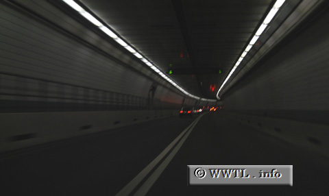
(Westbound Interstate 90; Boston, Massachusetts)
--Photo taken by Carlos Rogers in 2006 ✔
Viatype:F4-D
Map Location: 42.36491, -71.02491![]()
![]()
![]()
![]()
![]()
Distance Chart for
USA Interstate 90
USA Interstate 90
| Boston | |||||||||
| 1584 | Chicago | ||||||||
| 1030 | 555 | Cleveland, Ohio | |||||||
| 3057 | 1470 | 2020 | Rapid City, South Dakota | ||||||
| 4868 | 3289 | 3840 | 1827 | Seattle | |||||
Approximate distance in km
(1 km = 0.621 miles)
(1 km = 0.621 miles)