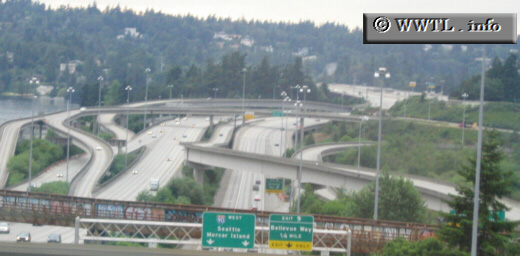
(Westbound Interstate 90; Bellevue, Washington State)
--Photo taken by Dan Peri c. 2000s ✔
Viatype:F6-D
Map Location: 47.57984, -122.18206![]()
Just east of Mercer Island, some creatively-constructed ramps connect Interstate 90 with Interstate 405.
Next photo>>>
<<<Previous
photo
Distance Chart for
USA Interstate 90
USA Interstate 90
| Boston | |||||||||
| 1584 | Chicago | ||||||||
| 1030 | 555 | Cleveland, Ohio | |||||||
| 3057 | 1470 | 2020 | Rapid City, South Dakota | ||||||
| 4868 | 3289 | 3840 | 1827 | Seattle | |||||
Approximate distance in km
(1 km = 0.621 miles)
(1 km = 0.621 miles)