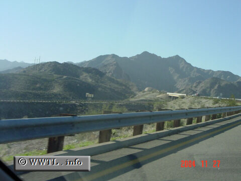
(Westbound Interstate 8; Yuma County, Arizona)
--Photo taken by Carlos Rogers c. 2000s ✔
Viatype:F4-D
Map Location: 32.67294, -114.31146![]()
Near Yuma, Interstate 8 crosses a steep mountain range. In order to keep grade-increases at a reasonable level, the westbound-lane crosses over the eastbound-lane, and remains parallel like this for a few miles. This setup is similar to Interstate 5's "Five Mile Grade" crossing in Los Angeles County, California.
Next photo>>>
<<<Previous
photo
Distance Chart for
USA Interstate 8
USA Interstate 8
| Casa Grande, Arizona | |||||
| 562 | San Diego, California | ||||
| 281 | 286 | Yuma, Arizona | |||
Approximate distance in km
(1 km = 0.621 miles)
(1 km = 0.621 miles)