| | 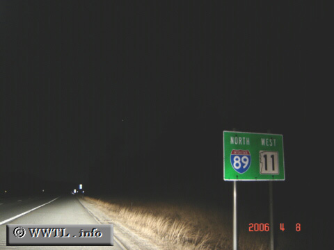
(Northbound Interstate 89/Westbound State Route 11; Merrimack
County, New Hampshire)
--Photo taken by Carlos Rogers c. 2000s ✔
Viatype:F4-D
Map Location: 43.39441, -71.98888
Interstate 89 connects Concord, NH with Philipsburg, Québec, Canada.
Next
photo>>>
| |