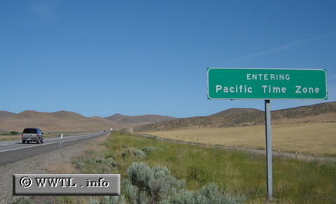
(Westbound Interstate 84/US 30; Baker County, Oregon)
--Photo taken by Carlos Rogers in 2005 ✔
Viatype:F4-D
Next
photo>>>
<<<Previous
photo
Distance Chart for
USA Interstate 84
USA Interstate 84
| Boise, Idaho | |||||||||
| 559 | The Dalles, Oregon | ||||||||
| 893 | 134 | Portland, Oregon | |||||||
| 430 | 984 | 1117 | Tremonton, Utah | ||||||
| 208 | 759 | 893 | 235 | Twin Falls, Idaho | |||||
Approximate distance in km
(1 km = 0.621 miles)
(1 km = 0.621 miles)