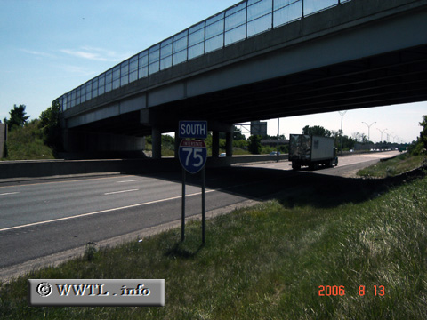
(Southbound Interstate 75; Toledo, Ohio)
--Photo taken by Carlos Rogers in 2006 ✔
Viatype:F4-D
Map Location: 41.7135, -83.50215
Interstate 75 connects the Florida peninsula with Sault Ste. Marie (Street Mary's Falls), ON. Along the way, the route traverses through the back mountain country of the mid south, the farmlands of Ohio and the lower Michigan peninsula.
| Distance Chart for USA Interstate 75
Approximate distance in km (1 km = 0.621 miles) | ||||||||||||||||||||||||||||||||||||||||||||||||||