| | 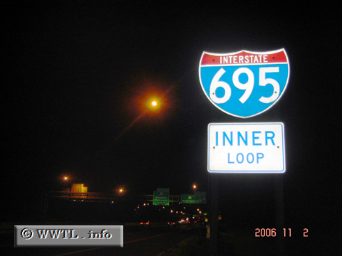
(Westbound Interstate 695; Anne Arundel County , Maryland)
--Photo taken by Carlos Rogers in 2006 ✔
Viatype:F4-D
Map Location: 39.24219, -76.6707
Interstate 695 wraps around the city and suburbs of Baltimore. In its
southeastern quadrant, a tollbridge crossing (Francis Scott Key Bridge) is made.
|
|