| | 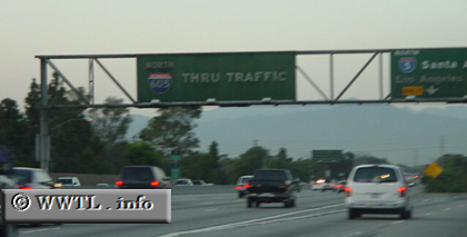
(Northbound Interstate 605 @ the Santa Ana Freeway;
Norwalk,
California)
--Photo taken by Dan Peri c. 2000s ✔
Viatype:F6-D
Map Location: 33.9326, -118.10098
Interstate 605, known to some as the San Gabriel River Freeway, connects Seal
Beach (near Long Beach) with Duarte.
Next
photo>>>
| |