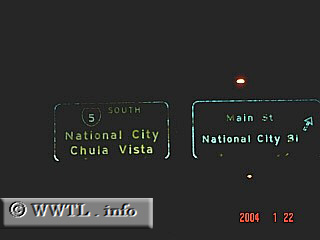
(Southbound Interstate 5.; National City, California)
--Photo taken by Eric Lozaga
Viatype:F8-D
Map Location: 32.6909, -117.11917![]()
Before the San Ysidro border crossing, the last San Diego suburb that Interstate 5
passes through is Chula Vista.
Next
photo>>>
<<<Previous photo
Distance Chart for
USA Interstate 5
USA Interstate 5
| Los Angeles | |||||||||
| 1550 | Portland, Oregon | ||||||||
| 194 | 1742 | San Diego, California | |||||||
| 618 | 932 | 810 | Sacramento, California | ||||||
| 1826 | 281 | 2020 | 1210 | Seattle | |||||
Approximate distance in km
(1 km = 0.621 miles)
(1 km = 0.621 miles)