| | 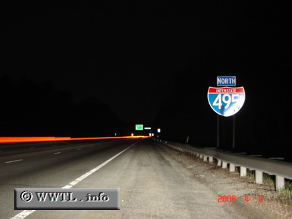
(Northbound Interstate 495; Essex County, Massachusetts)
--Photo taken by Carlos Rogers in 2006 ✔
Viatype:F4-D
Map Location: 42.66927, -71.18486
Interstate 495's intent is to bypass the
metro-Boston area; it creates a connection between the New Hampshire stateline
and the Cape Cod region.
| |