| 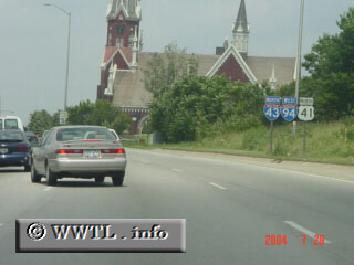
(Northbound Interstates 43/94 & Federal Route 41 triplex; Milwaukee, Wisconsin)
--Photo taken by Carlos Rogers c. 2000s ✔
Viatype:F6-D
Map Location: 43.01842, -87.91657
Beloit, Milwaukee and Green Bay
are all control cities on Interstate 43's one-state path.
| |