| | 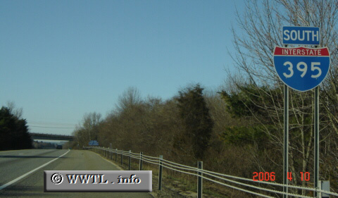
(Southbound Interstate 395; Putnam,
Connecticut)
--Photo taken by Carlos Rogers c. 2000s ✔
Viatype:F4-D
Map Location: 41.924, -71.88536
New England's Interstate 395 is a two-state corridor, representing eastern Connecticut and southern Massachusetts.
| |