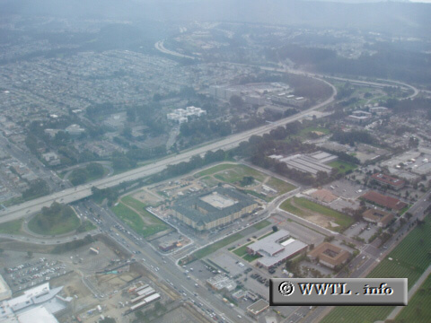
(El Camino Real @ Interstate 380; San
Bruno, California)
--Photo taken by Dan Peri c. 2000s ✔
Viatype:F6-D
Map Location: 37.63206, -122.42109![]()
This aerial-photo shows the stretch of Interstate 380 from El Camino Real (boulevard in the center-left) to Interstate 280 (in the upper-right).
Distance Chart for
Interstate 380
Interstate 380
| San Bruno, California | |||||
| 6 | San Francisco Int'l Airport | ||||
| 9 | 7 | South San Francisco, California | |||
Approximate distance in km
(1 km = 0.621 miles)
(1 km = 0.621 miles)