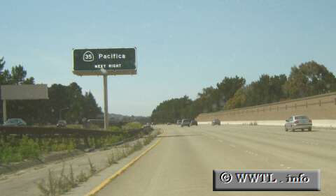
(Northbound Interstate 280; San Mateo County, California)
--Photo taken by Carlos Rogers c. 2000s ✔
Viatype:F6-D
Map Location: 37.59629, -122.4185![]()
As Interstate 280 travels through San Mateo County, its routing runs parallel to (nearly overlaying) the San Andreas Fault. Once the Interstate splits w/ CA-35 North in San Bruno, the route begins to travel further inland from the fault-line, carrying motorists towards South San Francisco.
Distance Chart for
Interstate 280
Interstate 280
| San Francisco | |||||
| 92 | San José, California | ||||
| 52 | 40 | Woodside, California | |||
Approximate distance in km
(1 km = 0.621 miles)
(1 km = 0.621 miles)