Interstate 265 connects the northern outskirts of Jeffersonville with Interstate 64.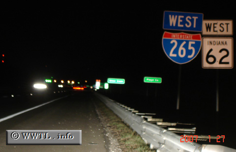
(Westbound Interstate 265; Jeffersonville, Indiana)
--Photo taken by Carlos Rogers in 2007 ✔
Viatype:F6-D
Map Location: 38.34543, -85.76868![]()
![]()
![]()
![]()
![]()
| |||||||||||||||||||||||||
| United States |
|
Interstate 265 connects the northern outskirts of Jeffersonville with Interstate 64. |
| ||||||||||||||||||||||||||||

