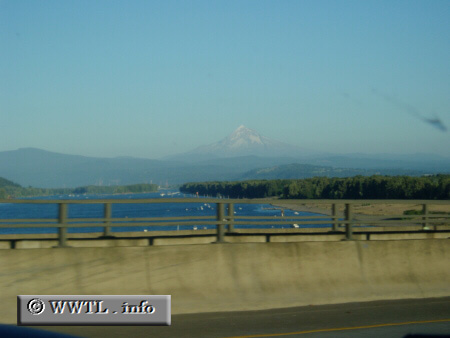
(Southbound Interstate 205; Oregon-Washington state
border)
--Photo taken by Dan Peri c. 2000s ✔
Viatype:F4-D
Map Location: 45.59216, -122.54737![]()
Mt. Hood rises in the distance.
Next
photo>>>
<<<Previous
photo
Distance Chart for
USA Interstate 205
USA Interstate 205
| Portland, Oregon | |||||
| 34 | Tualatin, Oregon | ||||
| 21 | 55 | Vancouver, Washington | |||
Approximate distance in km
(1 km = 0.621 miles)
(1 km = 0.621 miles)