| | 
(Eastbound O'Hare International Airport
service road; Chicago, Illinois)
--Photo taken by Carlos Rogers c. 2000s ✔
Viatype:F6-D
Map Location: 41.9799, -87.89917
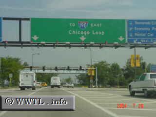
Interstate 190 connects O'Hare Airport
motorists with Interstates 90 and 294--also Mannheim Road (US 12/45).
The service road pictured above, which extends beyond Interstate 190's western terminus,
feeds traffic directly into Interstate 190.
| |