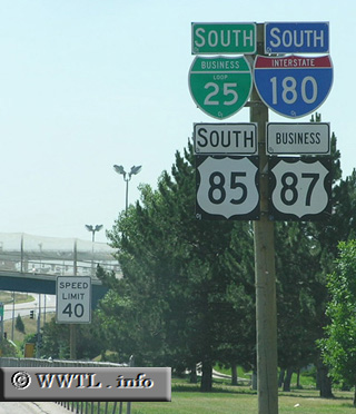
(Southbound Central Avenue; Cheyenne, Wyoming)
--Photo taken by Chris Elbert in 2005 ✔
Viatype:S4-D
Map Location: 41.12563, -104.80887![]()
Off in the distance and under
the hillside backdrop is Interstate 80.
<<<Previous
photo
Distance Chart for
USA Interstate 180
USA Interstate 180
| Cheyenne | |||||
| 1.9 | Junction 9th St | ||||
| 2.9 | 1 | Junction Interstate 80 | |||
Approximate distance in km
(1 km = 0.621 miles)
(1 km = 0.621 miles)