| | 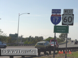
(Northbound Maricopa Freeway; Phoenix, Arizona)
--Photo taken by Carlos Rogers c. 2000s ✔
Viatype:F6-D
Map Location: 33.42748, -112.04554
Interstate 17 is one of the
shorter "2DIs" (two-digit Interstates) in the United States. Its
path covers the central portion of Arizona, connecting Phoenix with
Flagstaff. Once in Flagstaff, a driver can then take Federal Route 180 north into the
Grand Canyon.
| |