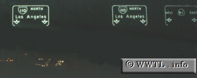
(Northbound Interstate 110 @ State Route 91; Los Angeles, California)
--Photo taken by Dan Peri c. 2000s ✔
Viatype:F8-D
Map Location: 33.86157, -118.28502
Interstate 110 is the federally-subsidized portion of the Harbor Freeway, connecting the San Pedro piers to downtown to Los Angeles.