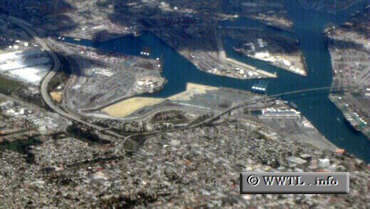
(End Southbound Interstate 110; San Pedro district; Los Angeles, California)
--Photo taken by Carlos Rogers c. 2000s ✔
Viatype:F4-D
Map Location: 33.74919, -118.29067![]()
Interstate 110 ends here at an
interchange with CA-47. From there, CA-47 then swoops across the Los
Angeles Harbor via the Vincent Thomas tollbridge.
Distance Chart for
USA Interstate 110
USA Interstate 110
| Carson, California | |||||
| 29 | Los Angeles | ||||
| 39 | 10 | San Pedro, Los Angeles | |||
Approximate distance in km
(1 km = 0.621 miles)
(1 km = 0.621 miles)