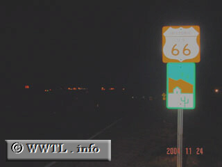
(Eastbound former Federal Route 66; Mohave County, Arizona)
--Photo taken by Carlos Rogers c. 2000s ✔
Viatype:S2-U
Map Location: 34.718, -114.48083
This picture was taken just east of the Colorado River crossing. The lights in the background come from the western-bank in California.
Next photo>>>
<<<Previous
photo