 |
| United States |
|
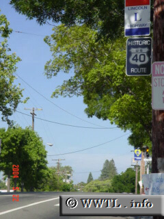
Interestingly, this Historic US 40 marker is a side panel off a local power pole. Right above it is a Lincoln Highway sign, which in its time was an early east-west transcontinental route in the United States.
Next
photo>>>
<<<Previous
photo