| | 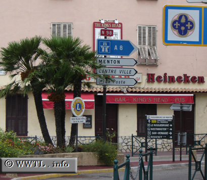
(Eastbound N98; Roquebrune-Cap Martin, Alpes-Maritimes)
--Photo taken by Carlos Rogers in 2005 ✔
Viatype:S2-UMap Location: 43.75196, 7.43858
English
|
français
Route
N98, a now retired highway, followed the shore of the French Riviera.
Its path was briefly interrupted by the Principality of Monaco, where the
Carrefour du Portier took its place.
Next
photo>>>
| |