| | 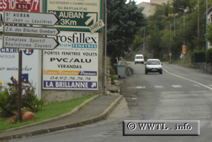
(Beginning of Southbound N96; Château Arnoux-Saint Auban, Hautes-Alpes)
--Photo taken by Carlos Rogers in 2005 ✔
Viatype:S2-UMap Location: 44.09242, 6.00888
English
|
français
Route
N96, a predominantly two-laned corridor, parallels A51 between Saint Auban and
Aix-en-Provence.
| |