--Photo taken by Carlos Rogers in 2005 ✔
Viatype:S2-U
English | français
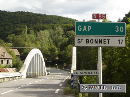
A white-arched bridge approaches.
Distance Chart for
France Route N85
France Route N85
| Gap, Hautes-Alpes | |||||
| 93 | Pont-de-Claix, Isère | ||||
| 85 | 8.2 | Vizille, Isère | |||
Approximate distance in km
(1 km = 0.621 miles)
(1 km = 0.621 miles)