| | 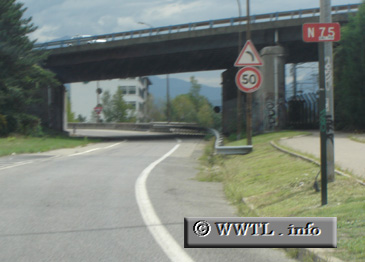
(Southbound N75; Grenoble, Isère)
--Photo taken by Carlos Rogers in 2005 ✔
Viatype:S2-UMap Location: 45.20693, 5.7073
English |
français
Route
N75 was one of the longest national routes in France, spanning from Bourg-en-Bresse
to Sisteron. It has since been broken into several department routes across Ain, Isère, and Alpes-de-Haute Provence.
| |