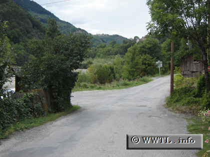
(Southbound D57; Le Motty, Hautes-Alpes)
--Photo taken by Carlos Rogers in 2005 ✔
Viatype:S2-U
Map Location: 44.79241, 5.97919
English | français
Watch your left!
Distance Chart for
Haute-Alpes Route D57
Haute-Alpes Route D57
| Le Glaizil | |||||
| 5.7 | Le Motty | ||||
| 2.6 | 8.3 | Pouillardenq | |||
Approximate distance in km
(1 km = 0.621 miles)
(1 km = 0.621 miles)