| | 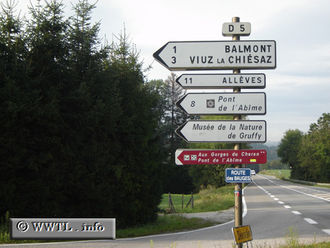
(Junction Route des Bauges; Haute-Savoie)
--Photo taken by Carlos Rogers in 2005 ✔
Viatype:S2-UMap Location: 45.83195, 6.05351
English |
français
Route
D5, affectionately known as the Route des Bauges, connects the southern reaches
of its department with N201.
Next
photo>>>
| |