France
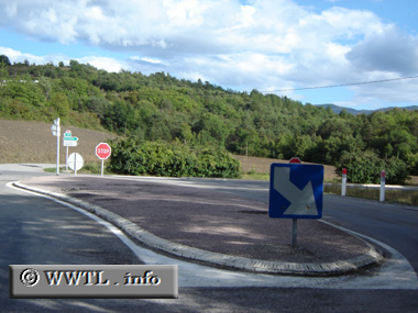
(End Southbound D46; Hautes-Alpes)
--Photo taken by Carlos Rogers in 2005
✔
Viatype:
S2-U
Map Location:
44.46128, 6.03355
English |
français
A concrete island appears at the route?s southern terminus.
<<<Previous photo
Share with:
Share information about this road!
Distance Chart for
D46
Gap
8
Neffes
14
5
Rochazal
Approximate distance in km
(1 km = 0.621 miles)