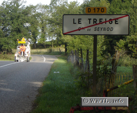
(Westbound D170; Le Treige, Haute-Savoie)
--Photo taken by Carlos Rogers in 2005 ✔
Viatype:S2-U
Map Location: 45.86484, 6.06577
English |
English | français
In France, the red "slash-throughs" indicate that you've left town. Interestingly, I learned this concept from the French transportation official riding in that tractor! We had a lengthy discussion about this.