France   

 
(Southbound A51; Hautes-Alpes)
--Photo taken by Carlos Rogers in 2005
Viatype:F4-D
Map Location: 44.43079, 6.02081

English | français

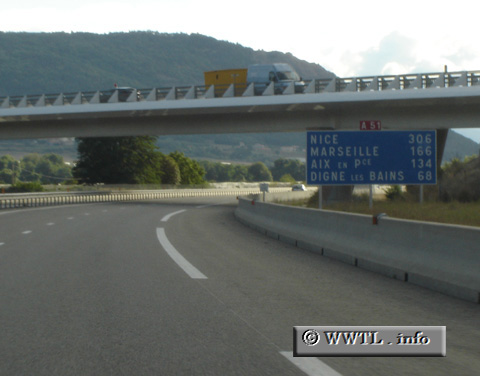
Straddling the southwestern Alps, Autoroute 51 provides access between Aix-en-Provence and the vicinity of Gap.

Share with:
XFacebookWhatsAppReddit


Distance Chart for
France Autoroute 51
Aix-en-Provence, Bouches-du-Rhône
149Gap, Haute-Alpes
10148Sisteron, Alpes-de-Haute-Provence
Approximate distance in km
(1 km = 0.621 miles)