France
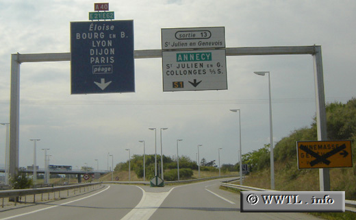
(Westbound A40; Haute-Savoie)
--Photo taken by Carlos Rogers in 2005
✔
Viatype:
F4-D
Map Location:
46.13252, 6.09207
English |
français
Mâcon and the shadowlands of Mount Blanc form the termini for Autoroute 40.
Share with:
Share information about this road!
Distance Chart for
France Autoroute 40
Chamonix, Haute-Savoie
42
Cluses, Haute-Savoie
184
226
Mâcon, Saône-et-Loire
Approximate distance in km
(1 km = 0.621 miles)