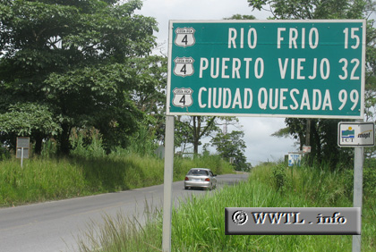
(Beginning of National Route 4; Santa Clara, Limón)
--Photo taken by Carlos Rogers in 2008 ✔
Viatype:S2-U Map Location: 10.21238, -83.89891
English | español
Route 4 spans the northern tier of Costa Rica, connecting National Routes 1 and 32.
Distance Chart for
National Route 4
National Route 4
| Cruce con Ruta 32 (Santa Clara) | |||||||
| 249 | Cruce con la Ruta Panam | ||||||
| 90 | 151 | Muelle San Carlos | |||||
| 66 | 192 | 41 | San Miguel | ||||
Approximate distance in km
(1 km = 0.621 miles)
(1 km = 0.621 miles)