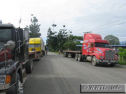
(Southbound National Route 36; Sixaola, Limón)
--Photo taken by Carlos Rogers in 2008 ✔
Viatype:S2-U Map Location: 9.50092, -82.61409
English | español
Behind the yellow truck lies the Panamanian border.
Distance Chart for
National Route 36
National Route 36
| Bribri | |||||||||
| 19 | Cahuita | ||||||||
| 64 | 45 | Puerto Limón | |||||||
| 81 | 62 | 18 | Siquirres | ||||||
| 58 | 39 | 6 | 92 | Westfalia | |||||
Approximate distance in km
(1 km = 0.621 miles)
(1 km = 0.621 miles)