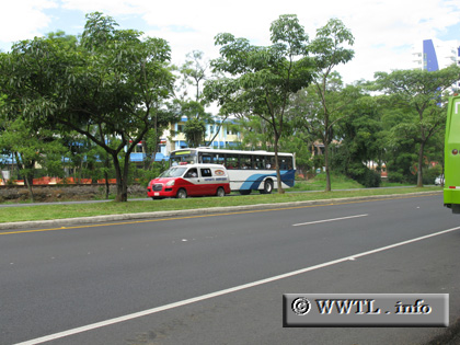
(Westbound National Route 27; Parque la Sabana, San José)
--Photo taken by Carlos Rogers in 2008 ✔
Viatype:S4-D
Map Location: 9.93327, -84.10562
English | español
It's a four-laned highway w/ asphalt.
Distance Chart for
National Route 27
National Route 27
| Orotina | |||||||
| 48 | Pavaş | ||||||
| 87 | 40 | San José | |||||
| 93 | 46 | 11 | Santa Ana | ||||
Approximate distance in km
(1 km = 0.621 miles)
(1 km = 0.621 miles)