| | 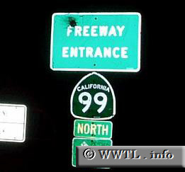
(State Route 99 Northbound connector ramp; Merced, California)
--Photo taken by Dan Peri c. 2000s ✔
Viatype:F4-D
Up until 1969, Highway 99
was signed as a US highway. Due to its undesirable and
sub-standard infrastructure for commercial traffic, Highway 99 was
decommissioned as a federal route, and was demoted to State Route
status. Since then, Interstate 5 has taken its place as California's
north-south artery. Over the years however, Highway 99 has made
considerable road condition improvements; some argue that 99 is now up to
Interstate standards. Will Highway 99 someday be "Interstate 7"?
Next Page>>>
|
|