(Northbound Golden State Highway; near
Livingston, California)
--Photo taken by Carlos Rogers in 2006 ✔
Map Location: 37.36752, -120.668![]()
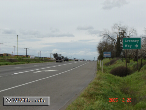
Here's a rare stretch of State Route 99 (between Bakersfield and Sacramento) where roadway converts from freeway to a non grade-separated thoroughfare.
Next
photo>>>
<<<Previous
photo
Distance Chart for
California 99
California 99
| Bakersfield, California | |||||||
| 590 | Chico, California | ||||||
| 175 | 417 | Fresno, California | |||||
| 447 | 144 | 275 | Sacramento, California | ||||
Approximate distance in km
(1 km = 0.621 miles)
(1 km = 0.621 miles)