| | 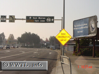
(Junction State Route 92/State Route 185/State Route 238; Hayward, California)
--Photo taken by Carlos Rogers c. 2000s ✔
Viatype:S6-D
Map Location: 37.67025, -122.08073
Via the San Mateo Bridge,
Highway 92 crosses the widest part of the San Francisco
Bay.
Next photo>>>
|
|