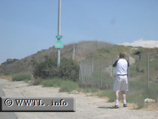
(Eastbound Otay Mesa Road; San Ysidro community,
San Diego, California)
--Photo taken by Eric Lozaga c. 2000s ✔
Map Location: 32.56808, -117.02886![]()
Here's a picture of me while taking a picture of the State Route 905 shield.
Next
photo>>>
<<<Previous
photo
Distance Chart for
California 905
California 905
| International Border (Otay Mesa) | |||||
| 5.9 | Otay Mesa | ||||
| 10 | 16 | San Ysidro | |||
Approximate distance in km
(1 km = 0.621 miles)
(1 km = 0.621 miles)