| | 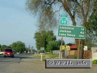
(Eastbound State Route 88; near Stockton, California)
--Photo taken by Dan Peri c. 2000s ✔
Viatype:S4-D
Map Location: 37.98918, -121.24303
One of the major east-west
arteries into the Sierra Nevada is Highway 88. In fact, Caltrans assigns
one large stretch of this road as Alt. Federal Route 50, which was posted sometime during
the 1990s.
Next photo>>>
|
|