|
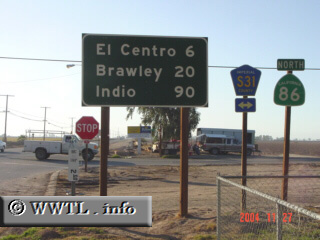
(Northbound State Route 86; Heber, California)
--Photo taken by Carlos Rogers c. 2000s ✔
Map Location: 32.73097, -115.53446
State Route 86 is the main north-south
artery for the Imperial Valley. Near its northern-terminus, the route has
a child-highway called "State Route 86S", which allows a freeway-to-freeway
connection with Interstate 10.
Next
photo>>>
| |