| | 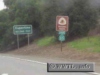
(Southbound State Route 85; Sunnyvale, California)
--Photo taken by Dan Peri c. 2010s ✔
Viatype:S2-U
On a smaller-scale, Highway 85
is the "Interstate 405 of the SF Bay Area". At its northern
terminus, it travels due south, serving San Jose and its sprawling neighbors,
and then bends in a southeastern direction towards its terminus with US 101.
Next
photo>>>
|
|