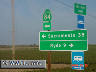
(Northbound State Route 84; Ryer Island, Solano
County, California)
--Photo taken by Carlos Rogers c. 2000s ✔
Map Location: 38.18654, -121.65891![]()
We're now officially on Ryer Island! Turn left if wishing to reach West Sacramento.
Next photo>>>
<<<Previous
photo
Distance Chart for
California 84
California 84
| Courtland, California | |||||
| 36 | Rio Vista, California | ||||
| 70 | 34 | West Sacramento, California | |||
Approximate distance in km
(1 km = 0.621 miles)
(1 km = 0.621 miles)