| | 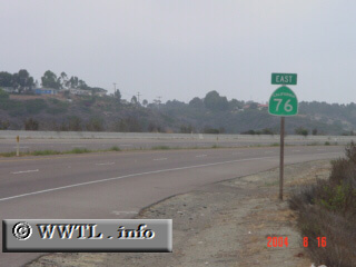
(Eastbound San Luis Rey Mission Bypass; Oceanside, California)
--Photo taken by Carlos Rogers c. 2000s ✔
Viatype:F4-D
Map Location: 33.21142, -117.37611
Throughout its path, Highway 76
passes through Oceanside, Bonsall and the Santa Ysabel Indian Reservation.
During the morning commute, there doesn't seem to be overwhelming amounts of
traffic near its western terminus.
Next
photo>>>
| |