| | 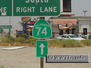
(Junction Interstate 215/State Route 74; Perris, California)
--Photo taken by Greg Lee c. 2000s ✔
Viatype:S4-D
Highway 74 is a scenic corridor
in southern California, connecting San Juan Capistrano (home of a famous
California mission), the Cleveland Nat'l Forest, the San Bernardino Nat'l Forest
and the outskirts of Palm Desert/Palm Springs. It also holds the
distinction of being the only major east-west highway in southern Orange
County.
| |