| | 
(Southbound MacArthur Boulevard @ San Joaquin
Hills Toll Road; Newport Beach, California)
--Photo taken by Dan Peri c. 2000s ✔
Viatype:F4-D
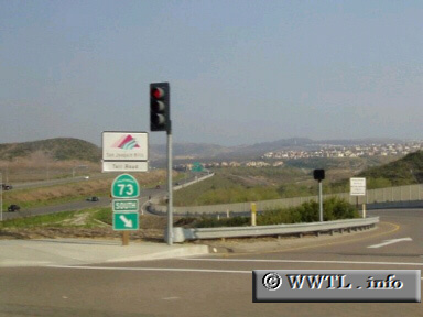
Highway 73 is one of four toll-roads in the greater Los Angeles area. The other routes are State Route 133, State Route 241 and State Route 261.
Next Page>>>
| |