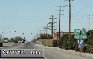
(End Northbound State Route 65 ; Tulare County, California)
--Photo taken by Trevor Carrier c. 2000s ✔
Viatype:S4-D
Map Location: 36.326021, -119.13491![]()
State Route 65 begins its northerly journey (just) north of Bakersfield, cuts through the eastern San Joaquin Valley, and terminates near the vicinity of Exeter and Visalia. The route is mostly surface-street, save a short freeway-jog in Porterville.
| Distance Chart for California 65
Approximate distance in km (1 km = 0.621 miles) | ||||||||||||||||||