| | 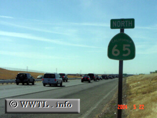
(Northbound State Route 65 ; Rocklin, California)
--Photo taken by Carlos Rogers c. 2000s ✔
Viatype:F4-D
Map Location: 38.77254, -121.2527
There are two distinct California State
Route 65s, which are hundreds of miles detached from another. The northern
CA version starts at Junction Interstate 80, and is a four-lane freeway for its first few
miles.
| |