United States
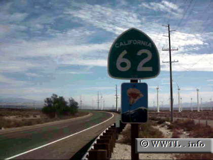
(Beginning of Eastbound State Route 62.; Riverside County, California)
--Photo taken by Carlos Rogers c. 2000s
✔
Viatype:
S2-U
Map Location:
33.91374, -116.6082
Highway 62 provides the vicinity of Palm Springs with a connection into Parker, AZ.
Share with:
Share information about this road!
Distance Chart for
California 62
Palm Springs, California
255
Parker, Arizona
78
177
Twentynine Palms, California
Approximate distance in km
(1 km = 0.621 miles)